The clouds play a significant role in the aviation weather and serve as vital indicators to the flying crew. The different types of cloud in aviation reveal the various terms of weather, providing the opportunity to analyze the course and safety level of the route.
Generally, there are more than a hundred different types of clouds; even though there are many clouds, they are not hard to learn; the types of clouds in aviation are categorized in a logical order to identify their characteristics. In the classification, the clouds are generally categorized depending on their physical appearance and the level of atmosphere they are present in.
Here is the list of different types of cloud in aviation and their characteristics.
1. Cumulus Cloud
The Cumulus cloud is one of the most common types of clouds in aviation, these types of clouds are puffy and white. The cumulus clouds are easily visible on a nice summer day; these clouds are generally shaped by small beautiful puffy balls that add some texture to the beautiful blue sky. Those small puffy clouds are the classic cumulus clouds, and they depend on the atmosphere to provide some lift for the formation as it grows upwards as the air current rises.

When the atmosphere is unstable, these types of clouds in aviation can grow into very tall sizes and get thousands of feet large. In aviation, the atmospheric life or convection of the Cumulus cloud also means turbulence for the pilots as the atmosphere isn’t stable on those levels. While flying through the layer of the puffy cumulus clouds, the aircraft may experience some minor bumps along the way. But, the cumulus cloud has taken a huge formation. It means that the turbulence passing through that level can be pretty severe, so these clouds give heads up to the flying crew for preparing turbulence or changing the trajectory.
2. Stratus Clouds
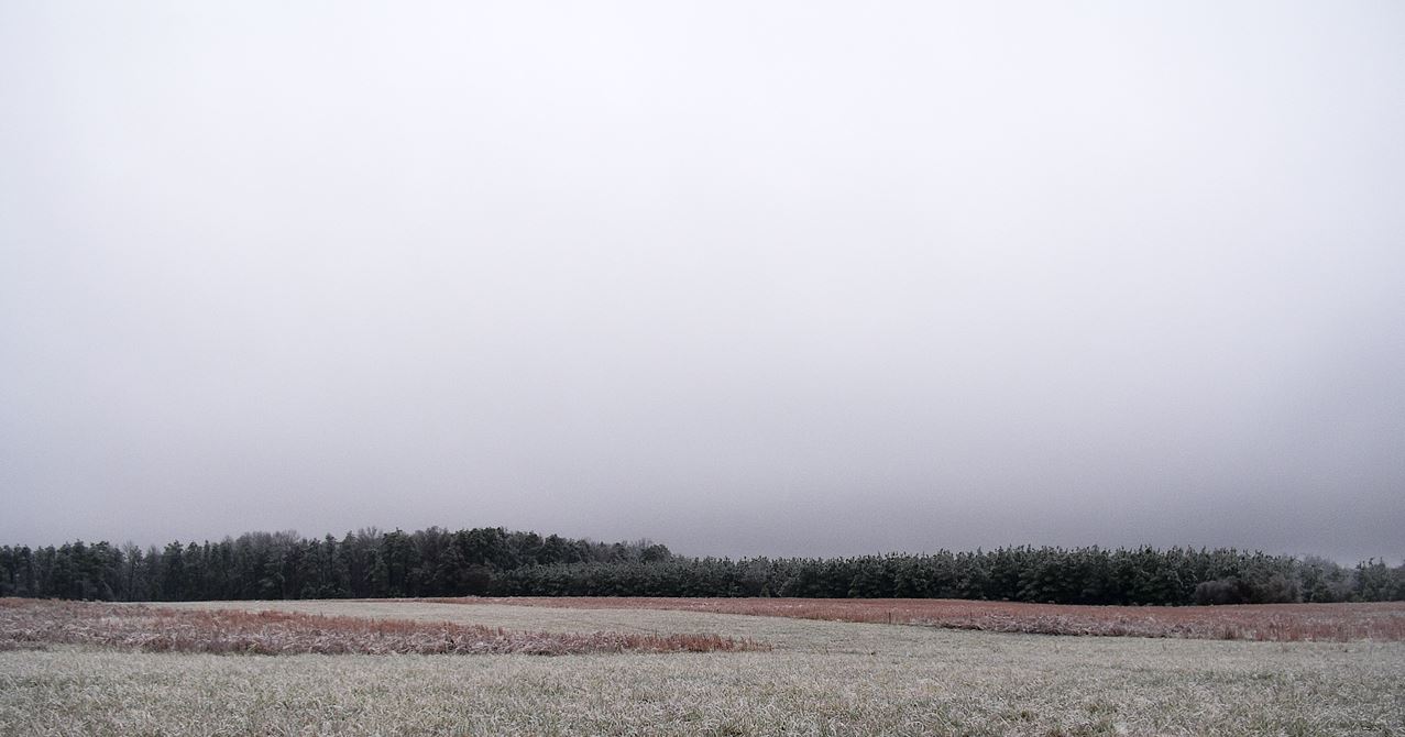
The Stratus clouds are the opposite nature of the cumulus clouds; instead of the puffy characteristics, the Stratus clouds are stratified or layered on the atmospheric level. These types of clouds generally appear on a rainy, cold day, overcasting the layer of grey clouds right below the sky covering a massive area. Besides being different in physical appearance from the cumulus clouds, these types of clouds in aviation mean a stable atmosphere where it is formed. Unlike the cumulus clouds, the Stratus clouds represent the little lifting or convection present in the atmosphere.

At the regions where the stratus clouds appear, the flying crew can expect a nice and smooth ride inside the layers of the stratus clouds. But, in some cases, the stratus clouds can be very thick and grey, completely blocking out the sun unless the flight trajectory is on a higher level. Then these clouds may be translucent, allowing us to see the sun through them.
3. Stratocumulus Clouds
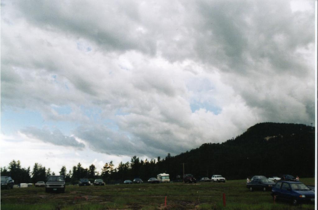
The Startocumuls clouds are unique types of clouds in aviation; these clouds take shape with the combination of the cumulus clouds and the stratus clouds. The stratocumulus clouds can be seen in a large area but with puffy beautiful small fur-like clouds when seen in the sky. The Stratocumulus clouds are generally thick and conjoined like the puffy clouds glued together, but sometimes there are some gaps between these clouds; at such times, the clouds and sun are visible through them.

The stratocumulus clouds that often allow the rays of sunlight to pass through them are termed the ‘Crepuscular Ray’ in scientific terms or sometimes are even called ‘Jesus Ray.’ These types of clouds in the aviation sector are identified as non-precipitation producers; even when they produce precipitation, it’s generally light rain or snow.
4. Nimbus Clouds
Nimbus is another term practiced to identify the clouds when the word ‘nimbo’ or ‘nimbus’ is added behind a type of cloud, the means that the precipitation is falling down from the cloud. For example, the stratus and cumulus clouds have different properties and are found at a certain level of the atmosphere; when not precipitating, these clouds hold their original state and identification, i.e., just ‘stratus’ or ‘cumulus,’ but once they start precipitating they are identified as ‘cumulus nimbus or ‘stratus nimbus.’

These types of clouds in aviation are customarily used to identify the state of clouds; they are not a type of clouds in themselves.
5. Lenticular Clouds
The lenticular or lens-shaped clouds are some of the most beautiful clouds in the sky that have unique shapes. These types of clouds form under very particular regions and set of circumstances that are of interest to pilots. The lenticular clouds take forms on the top of the mountains; when strong winds hit the mountain, these lens-shaped clouds are forced upward to the atmospheric levels. When the air blows across a mountain range, in certain circumstances, that sets up a train of large standing waves, then the rising motion of the wave causes water vapor to condense that forms the unique appearance of the lenticular clouds.

Basically, there are three types of lenticular clouds, altocumulus standing lenticular, stratocumulus standing lenticular, and cirrocumulus standing lenticular. Pilots avoid these types of clouds in aviation; the clouds on the ground can result in the very strong gusty wind at one place with still air only a few hundred meters away; the turbulence that accompanies the lenticular clouds can give a bumpy ride.
6. Cumulonimbus Mammatus Clouds
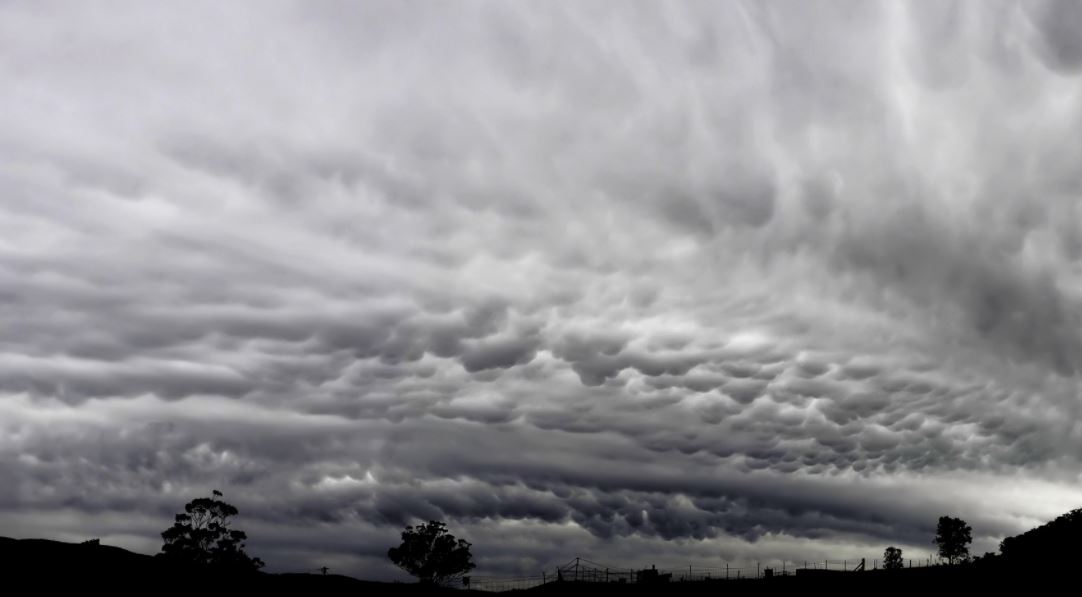
The Cumulonimbus Mammatus clouds are associated with strong or severe weather conditions ranging from heavy rain to strong updrafts and downdrafts of tornadoes. Hazardous weather conditions exist in and around these types of clouds that can simply outclass the design criteria and performance capabilities of aircraft of all types, big or small. The cumulonimbus clouds can be characterized as towering column-like structures and falling precipitation; these clouds are often associated with convective thunderstorm activities, microbursts, hail, icing, lightning, and tornadoes.

The pilots avoid these types of clouds in aviation at any cost as the aircraft are pruned to receive light or heavy damages while passing around or through the clouds. Even the rainfall from the cumulonimbus clouds that fall from the cloud base can become extreme; similarly, as the moisture is lifted into the clouds, it will reach the freezing level that can pose an icing threat to the aircraft that can even result in system failure. In the regions where there are strong updrafts and freezing temperatures, there is also the possibility of hail; hail is a destructive natural phenomenon that can harm the aircraft despite their size, so all the risks, including lightning as a result of mixing air dust and water molecules to build-up electrical field on clouds itself, can be a very dangerous gambit.
7. Cirrus-High Clouds
The cirrus clouds are short in nature; they have detached hair-like features and are found at high altitudes. These wispy clouds with silky skin and even shapes like tufts of hair are the whitest clouds in the sky compared to any other clouds during the day and during the sunset or sunrise can adapt to the color of the horizon. The cirrus clouds are formed by the ascent of dry air that makes a small quantity of water vapor in the air undergo deposition into ice to change from a gas directly into a solid. Thus, the high cirrus clouds form completely from ice crystal, providing it the whitest color in the sky despite the wide variety of shapes and sizes. Also, the cirrus clouds can form through the contrails, the vapor trails left by the plane as they fly through the upper troposphere level, but they are not considered clouds as they are human-made.

These types of clouds in aviation are considered non-threat clouds; since the cirrus clouds form in stable air, they usually don’t pose a risk for turbulence or icing. Moreover, as they only form in instrument flight rules(IFR) airspace, even the tiny aircraft and FBOs don’t have to worry about visibility and other disturbance.


